


Бесплатная доставка!


Галерея

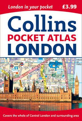
London Pocket Atlas
This fully updated atlas features clear Collins street mapping of Central London and the surrounding area. Coverage is from Chiswick in the west to Barking in the east, and Hampstead in the north to Dulwich in the south. Scale is 1:20,000 (3.17 inches to 1 mile). Coverage of Central London is at 1:12,500 (5.1 inches to 1 mile).

